
Image from NWS, Grand Rapids, MI
Forecasts from the National Weather Service (NWS) say an “Arctic clipper” type storm is bringing lake effect snow to parts of the Great Lakes area.
Newsweek reported on Monday, March 18:
Several states can expect snow today as cold air descends on the U.S. from Canada, bringing bitter wind chills and hazardous driving conditions.
The National Weather Service (NWS) has warned of difficult conditions caused by lake-effect snow, particularly in northern states close to the U.S.-Canada border. The NWS has forecast that “a strong system moving across southern Canada will trigger lake-effect snow downwind of the Great Lakes.”
An NWS public advisory for the nation said:
[A] weather pattern consisting of high pressure stretching southward from the northern Plains to the Gulf Coast. As a result, continuous cold northwest flow will create lake effect snow chances throughout the Great Lakes today before the next clipper system swings over the region and into northern New England by early Wednesday. Accumulating snow is expected across the typical snow-belts downwind of lakes Erie and Ontario, as well as into northern Michigan, where Winter Weather Advisories have been issued.
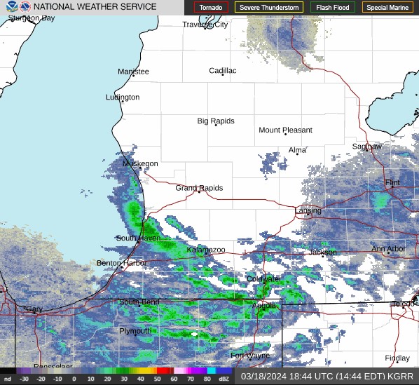
Weather radar from the NWS station at Grand Rapids below shows lake effect snow streaming from Lake Michigan falling across a broad area ranging from Benton Harbor, Kalamazoo, and Ann Arbor, Michigan, to Gary, South Bend, and Fort Wayne, Indiana, to Toledo, Ohio.